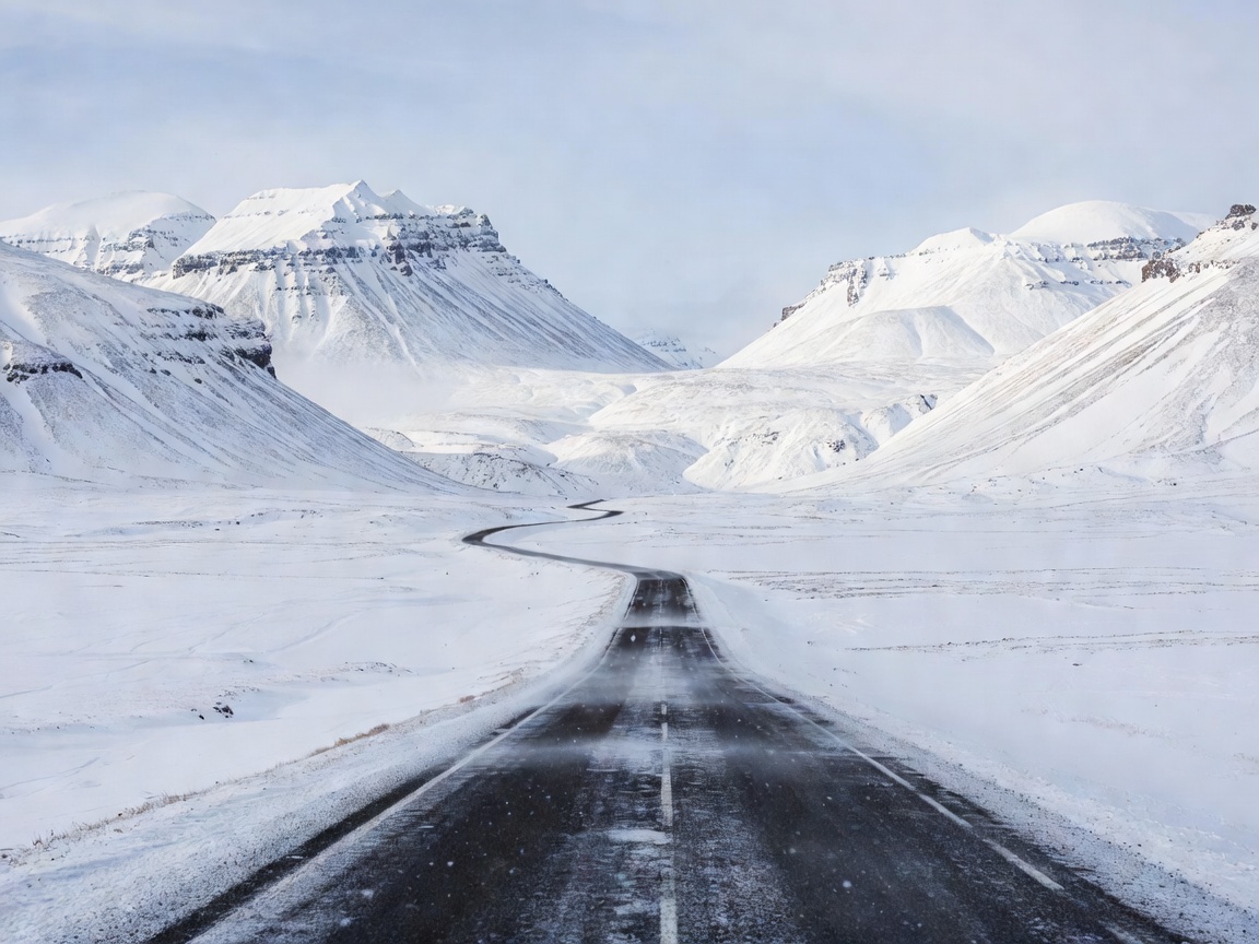
Route atlas · South and west
Iceland Winter Routes
Compare route styles, exposure and overnight logic before setting a winter itinerary.
Route choiceDaylightOvernights
Compare route approaches
Iceland winter road atlas 64°08′N · 21°56′W
A practical guide to seasonal driving routes, winter destinations, road conditions, weather planning and flexible travel across Iceland.
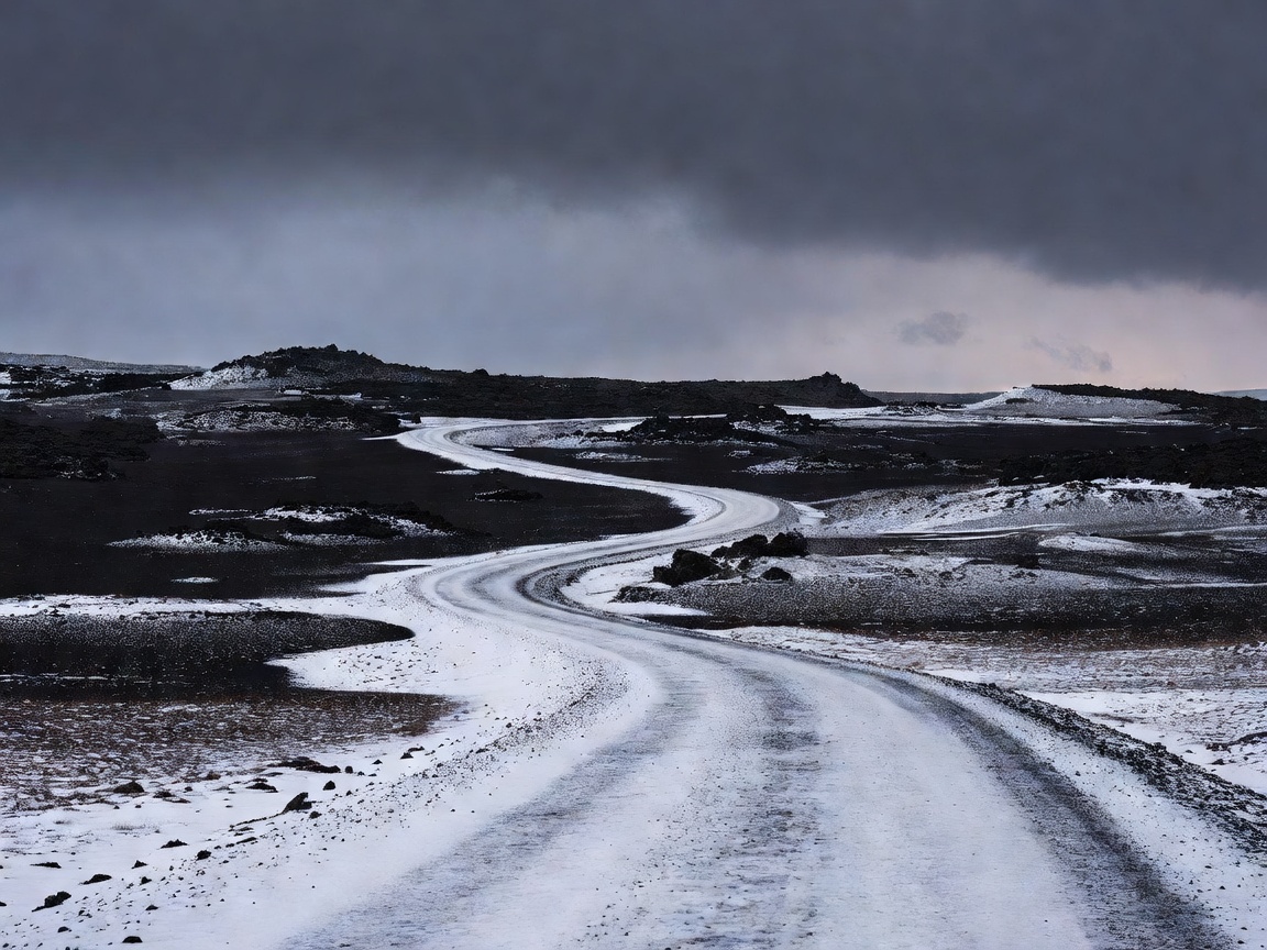
Field guide index / 05
Start with the constraint that will shape your day: distance, daylight, conditions or preparation.
Route atlas · South and west
Compare route styles, exposure and overnight logic before setting a winter itinerary.
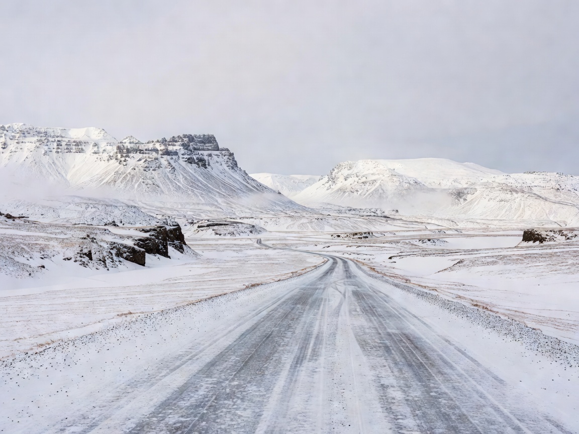
Drive plan · Before departure
Set realistic driving days around visibility, road surfaces, vehicle suitability and fatigue.
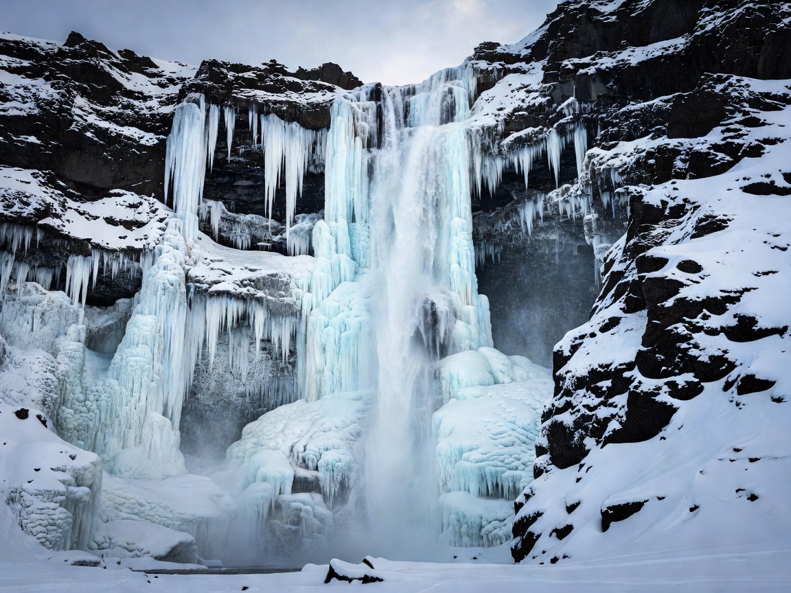
Terrain notes · Stops and regions
Choose coastal, waterfall, geothermal and volcanic stops that fit the day’s route and conditions.
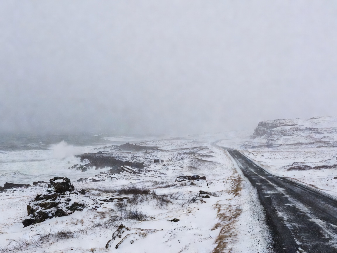
Conditions desk · Check close to departure
Understand how wind, ice, snow and visibility change route decisions. This guide does not show live conditions.
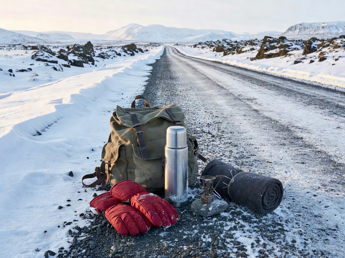
Field checklist · Pack and prepare
Organize clothing, communications, supplies, accommodation and a route that can change safely.
Operating sequence / 05
No live road or weather feed is presented here. Use current local information before every drive.
Choose realistic distances and seasonal routes. Keep overnight stops within a workable day.
Allow for changing surfaces, reduced visibility and longer stopping distances.
Review current road and weather information immediately before departure.
Build in rest and sightseeing points. Do not stop where doing so creates a hazard.
Shorten, reroute or cancel when conditions or fatigue make travel unsafe.
Safety boundary
Road access, weather and daylight can change. Check current local road and weather information before setting out. Never bypass barriers or warnings. Change or cancel plans when conditions are unsafe.
Read the conditions checklist