Field guide / Route selection
Start with the day, then draw the route.
Winter route planning in Iceland is a sequence of decisions. Set the available daylight, identify the area you can reach conservatively, then choose stops that fit without requiring a rushed return. A map distance is only one input. Wind exposure, surface changes, visibility, traffic, breaks and the driver’s comfort all affect the usable day.
Choose a small operating area rather than trying to collect distant landmarks. A shorter regional loop can leave time to pause, reassess and reach accommodation before fatigue accumulates. Treat a return journey as part of the plan. A destination is not the end of the day if the road back remains exposed.
Regional differences matter
South coast routes combine settlements, coastal scenery and well-known natural areas, but exposed stretches can be affected by wind and rapidly changing weather. West Iceland and the Snæfellsnes Peninsula offer varied coast and mountain views; the peninsula still requires a flexible plan and current access checks. East Iceland’s settlements and fjord roads create longer links between stops. In the north, winter daylight and changing conditions influence how much ground is practical.
Inland and highland travel is a separate planning question. Do not assume a summer road, shortcut or mapped track is suitable in winter. Seasonal access varies. Use current official road information, observe restrictions and choose a route appropriate to the vehicle, driver and conditions. This guide does not provide live road status or confirm any road is open.
Four planning approaches
| Approach | Useful when | Trade-off |
|---|---|---|
| Fixed distance | Estimating the broad scale of a journey. | Can understate winter delays and stop time. |
| Flexible route | Conditions or daylight may change the day. | Requires backup stops and accommodation logic. |
| Destination-first | A specific region is the trip priority. | May need to be dropped if access or weather changes. |
| Weather-first | Exposed routes need close condition checks. | Can reduce distance or change the overnight plan. |
Fixed-distance planning is useful for comparing broad options, but it should not dictate a winter schedule. Flexible route planning sets a main line and at least one lower-exposure alternative. Destination-first planning works when a place matters most, provided the plan has a clear cancellation point. Weather-first planning makes current conditions the gate: if the information or forecast makes travel unsuitable, the route changes or the drive is cancelled.
Daylight, distance and overnights
Daylight changes substantially through the winter season and by date. Confirm sunrise and sunset for each travel day rather than using a single seasonal assumption. Plan arrival with a buffer; do not allocate every available hour to driving and stops. Darkness, fatigue and unfamiliar roads can make a late return a poor choice.
Break a longer journey into overnight sections that remain reasonable if conditions slow progress. Check accommodation location, access arrangements and cancellation terms directly with the provider. Do not assume an establishment is open or that a booking guarantees a clear approach road. Keep a fallback night location or a way to shorten the route.
Exposure and seasonal access
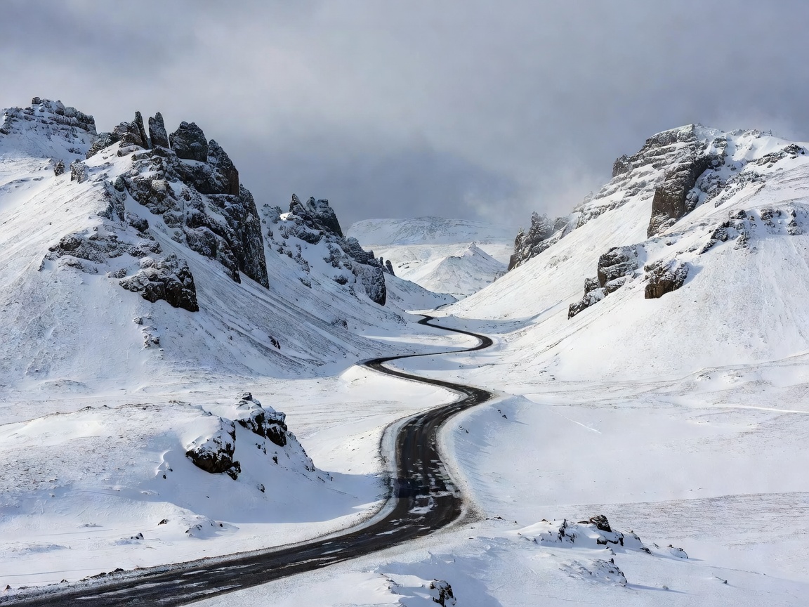
Coastal roads can be exposed to crosswinds and abrupt weather changes. Mountain passes and elevated roads may have different visibility and surface conditions from nearby lowland roads. Conditions can change between departure and arrival. A route that looks compact on a screen may include stretches with few suitable stopping places. Mark safe, legal stopping options in advance; never stop in a lane or block access for a photograph.
Use current local road and weather information immediately before departure and repeat checks when the plan changes. A backup route is not permission to drive through a closure or warning. Follow restrictions and turn back or wait where travel is not safe.
Route comparison: choose a shape, not a promise
Regional out-and-back: keeps overnight logistics simple and allows a clear return point. It can mean repeating a road and offers less geographic variety. Coastal loop: connects several landscapes and settlements when access permits. It can require longer daily links and more exposed mileage. Single-base day trips: reduce packing and lodging changes. They limit reach and still depend on safe conditions in both directions.
There is no universally best winter route. Compare the driving experience, available daylight, accommodation flexibility and consequences of a delay. Choose the version that remains workable when one stop or one road segment is removed.
Good For
- Travelers deciding between a compact regional trip and a longer circuit.
- Drivers who want a backup plan before booking overnight stops.
- Photographers who need to balance daylight with safe road access.
What To Know
- Route access and conditions are time-sensitive; verify them before every drive.
- Distances do not account for weather delays, breaks or reduced visibility.
- Inland and seasonal roads require specific current access checks.
- Change or cancel plans when conditions make travel unsafe.
Use route comparisons as a planning tool, not a prediction. Keep daily objectives modest and make the return leg explicit. For detailed driver preparation, continue to the winter driving planning guide or review the preparation checklist.